FIELD ATLAS // ICELAND WATERFALL DIRECTORY

ICELANDIC WATERFALL ROUTES. MAPPED CLEARLY.

A practical guide to waterfall trails, viewpoints, seasonal conditions, route planning and responsible visits across Iceland. Hard data, terrain warnings, and realistic footpaths.

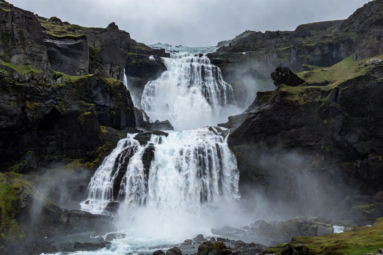
Cascading glacial waterfall plunging down dark basalt cliffs in Iceland under overcast sky
METHODOLOGY

THE 5-POINT FIELD EVALUATION SEQUENCE

Every waterfall trail in Iceland requires sequential risk and terrain assessments before leaving your vehicle.

01

ROUTE

Access status, roadway grade (paved Ring Road vs gravel secondary), seasonal gate controls, and confirmed parking area locations.

Parameter: Distance & Grade
02

TERRAIN

Surface matrix including wet basalt columns, loose tephra scree, mud clay, river bed crossings, and steep unprotected drop-offs.

Parameter: Surface Friction
03

WATER

Glacial discharge volume, airborne mist radius, freeze patterns, and spray velocity dictating shell clothing and lens protection.

Parameter: Discharge & Spray
04

WEATHER

Valley wind shear, thermal freeze-thaw cycles, sudden horizontal precipitation, and rapid daylight reduction in shoulder months.

Parameter: Wind & Temperature
05

VIEWPOINT

Engineered boardwalks, safe rim margins, line-of-sight stabilization points, and crowd distribution along designated trails.

Parameter: Edge Stability
CORE DIRECTORIES

WATERFALL FIELD SECTORS & OPERATIONAL GUIDES

Select a technical module below to review regional corridors, trail conditions, safety parameters, and field protocols.

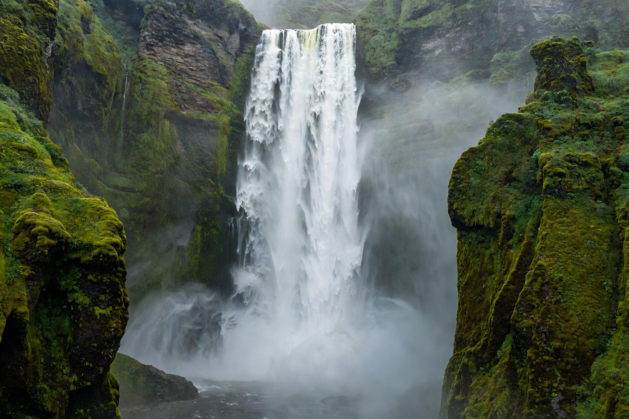
Massive water wall dropping into mist surrounded by steep green mossy canyon walls
GEOGRAPHIC SECTORS

Icelandic Waterfall Regions

COVERAGESouth, North, West, East
GEOLOGYBasalt, Canyon, Glacial Outwash
TRANSITRoute 1 & Mountain Byways

Compare geological mechanics, runoff sources, and access corridors across the Southern coastal cliffs, Northern volcanic rifts, and remote Westfjords amphitheaters.

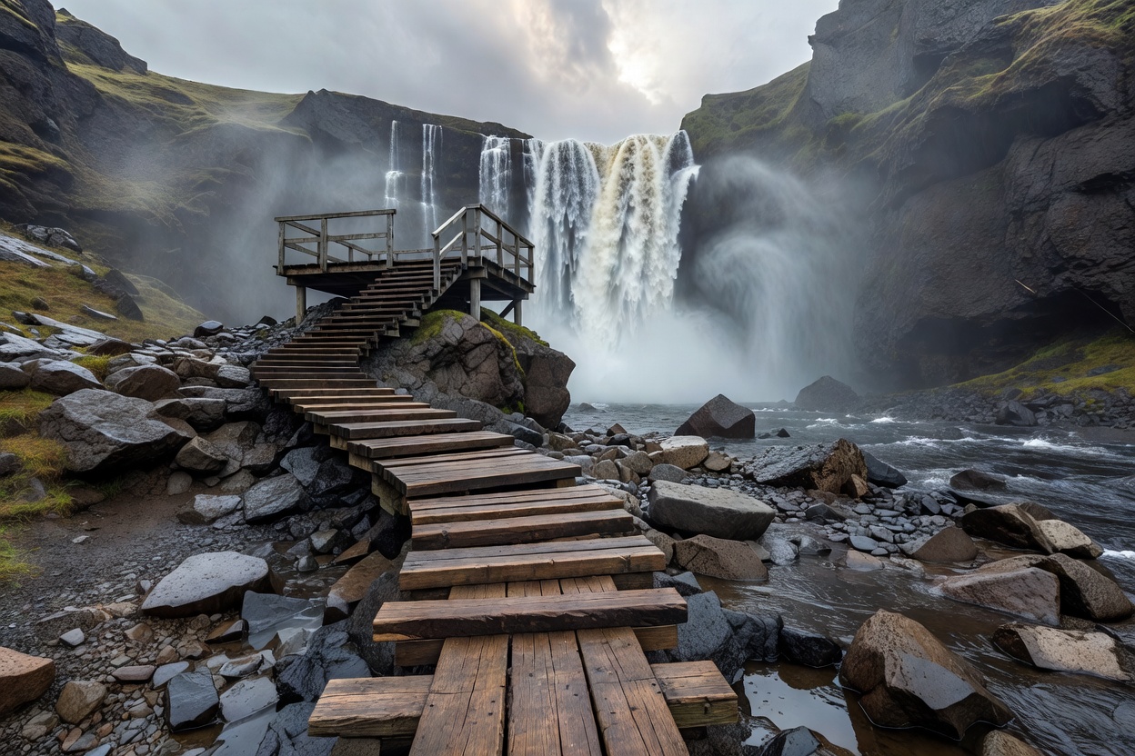
Wooden walking path leading over wet stones toward an elevated Icelandic waterfall observation deck
FOOTPATHS & PLATFORMS

Waterfall Trails & Viewpoints

TRAIL TYPESRoadside, Rim Climb, Scree
SURFACEBasalt Slab, Grated Metal, Mud
EXPOSUREHigh Spray & Valley Wind

Detailed assessment of foot surfaces, gradient inclines, spray zones, and viewing platforms. Differentiates quick roadside drop-ins from demanding rim hikes.

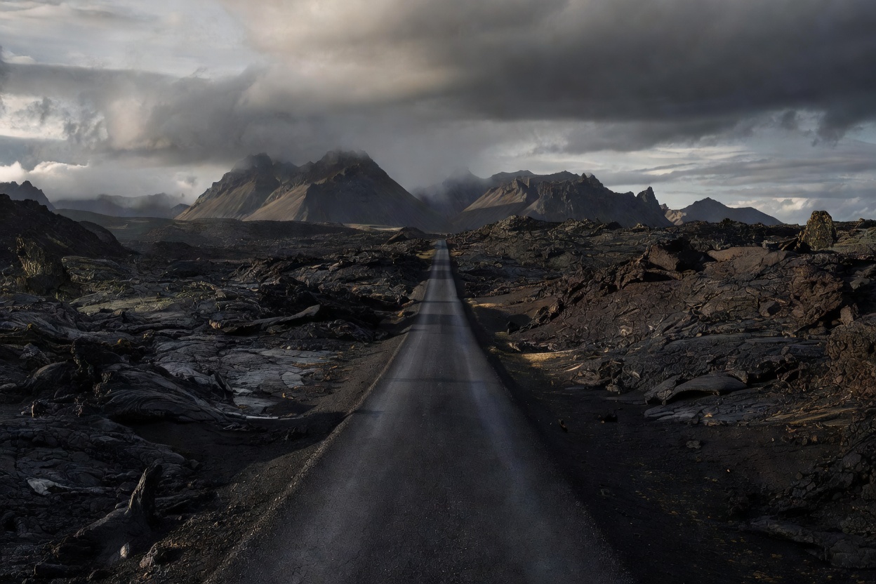
Asphalt road cutting through dramatic black lava fields towards distant mountains in Iceland
LOGISTICS & TIMING

Waterfall Route Planning

TIMINGDaylight Calculations
TRANSITFuel Buffers & Drive Times
PARKINGTurnout Regulations & Lots

Framework for sequencing daily waterfall waypoints. Calculate practical driving speeds, parking buffers, daylight availability, and route contingency options.

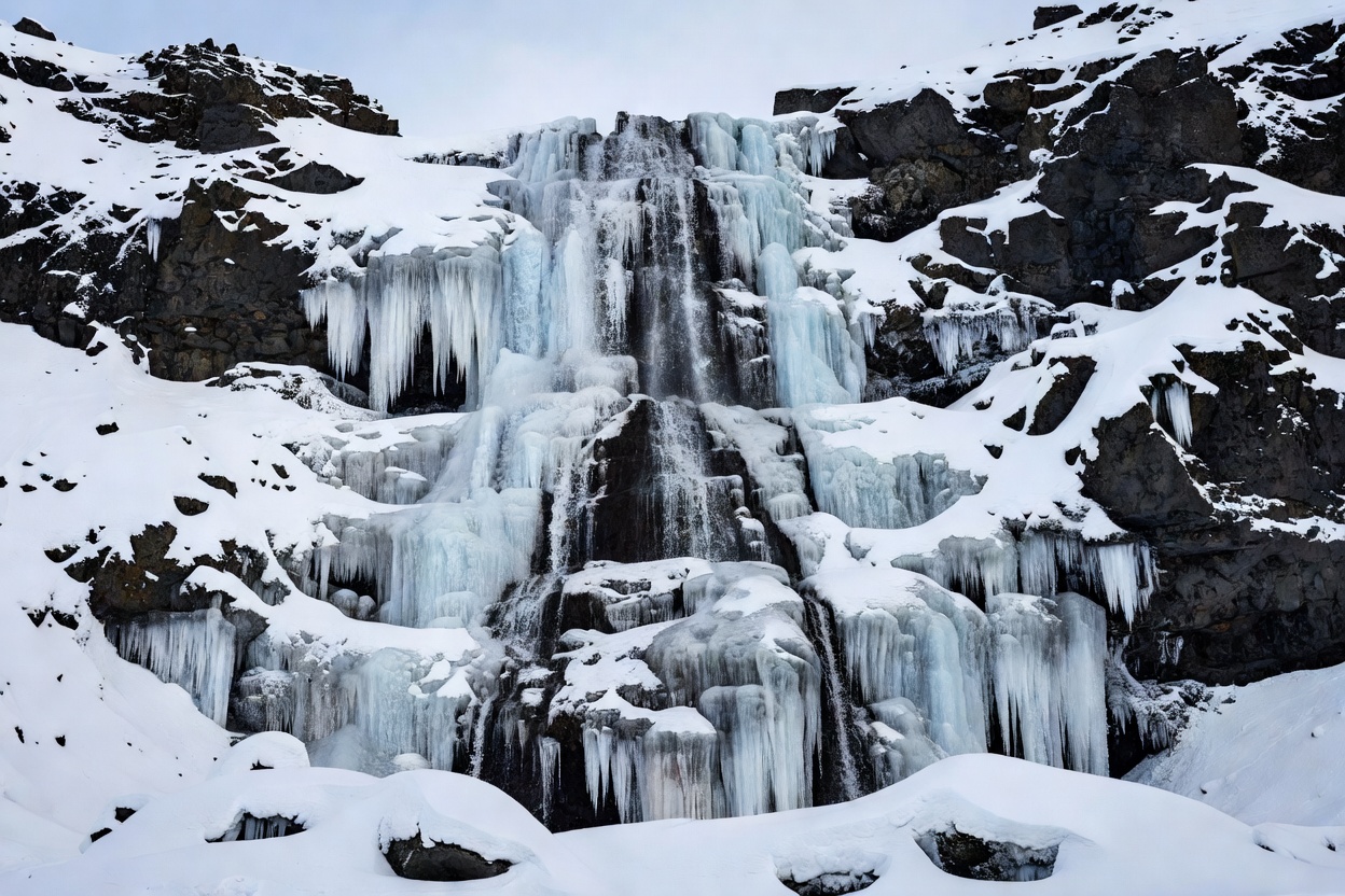
Partially frozen waterfall surrounded by thick winter ice crusts and snow-covered volcanic rock
ATMOSPHERICS & PACK ICE

Seasons & Weather

SEASONSMidnight Sun to Glazed Ice
GEARMicrospikes, 3-Layer Shells
RISKBlack Ice, River Swells, Gale

Seasonal realities across winter ice sheets, spring glacial runoff spikes, and brief summer midnight sun windows. Includes cold-climate footwear requirements.

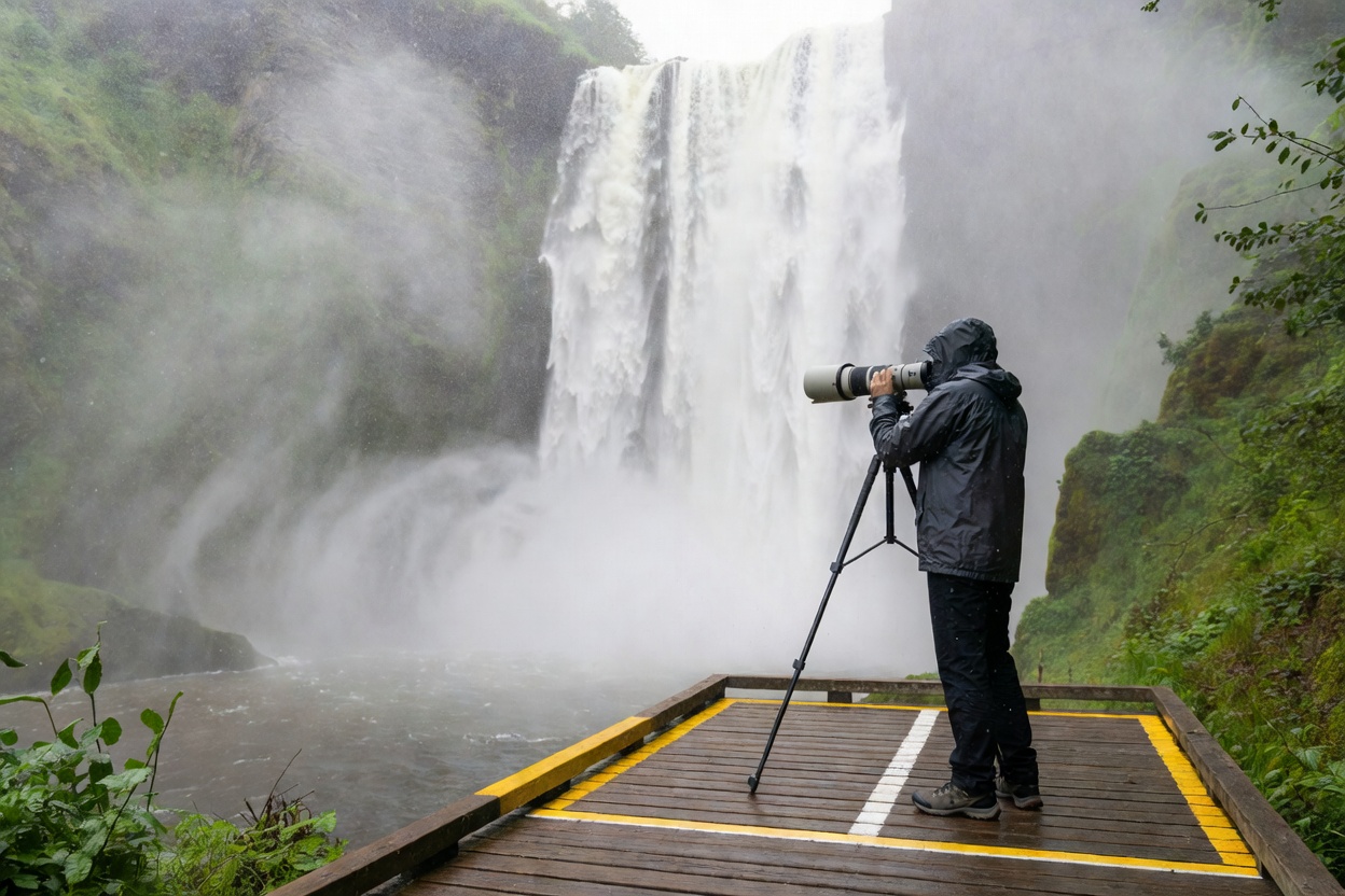
Photographer standing safely on marked boardwalk photographing waterfall mist with telephoto lens
FIELD PROTOCOLS

Photography & Responsible Visits

ETHICSZero Off-Trail Flora Damage
TECHNIQUEHigh-Wind Stabilization
SAFETYBarrier Compliance, No Edge Sits

Equipment maintenance in severe aerosol mist, tripod discipline in high-wind corridors, and non-negotiable protection of fragile Arctic moss biomes.

SAFETY OPERATING BASELINE

THREE NON-NEGOTIABLE WATERFALL RULES

1. Respect Spray Freezes

Waterfall spray freezes on boardwalks and basalt steps instantly when ambient air drops below 1°C. Always attach microspikes before stepping onto mist-coated slopes.

2. Stay Inside Timber & Rope Lines

Rope barriers are placed precisely where turf overhangs vertical cliffs without stone support. Stepping over a line risks immediate undercut failure.

3. Verify Real-Time Road Conditions

Secondary gravel spur roads leading to interior falls can close within two hours due to wind drifts or river volume surges. Never rely solely on printed maps.