Realistic Route Math: Speed, Stops, and Buffers
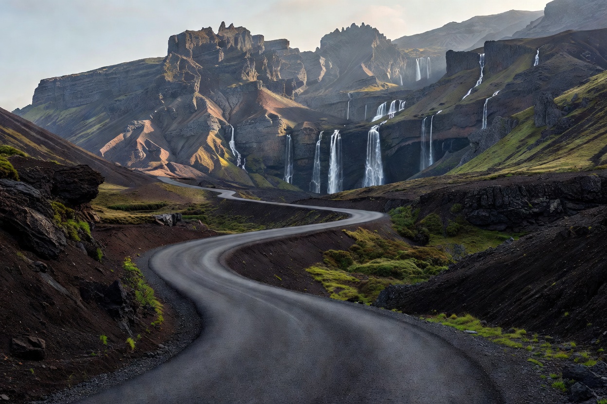
The primary error when planning Icelandic waterfall routes is treating map distances as standard highway miles. A 120-kilometer stretch between South Coast waterfalls on paper can easily consume 4 hours when accounting for single-lane bridges, slow tractor traffic, livestock on asphalt, and localized wind squalls.
Apply a minimum 25% time buffer to all GPS navigation estimates during summer, and a 50% to 75% buffer from October to April.
1. Daylight Envelope Calculation
Daylight parameters dictate daily waypoint volume. In mid-June, Iceland experiences 24 hours of ambient light, allowing visits at 03:00 to avoid tourist congestion. Conversely, in late December, usable daylight shrinks to 4 to 5 hours (11:00 to 15:30).
Schedule a maximum of two major waterfall stops per day during winter months. Arriving at a remote canyon trailhead with less than 90 minutes of remaining daylight risks navigating frozen scree slopes in pitch darkness.
2. Parking Infrastructure and Access Management
Parking management at major waterfalls has evolved from roadside gravel pullouts into regulated lots with automated license plate recognition cameras.
Do not park on unpaved road shoulders along Route 1. Soft sand and volcanic ash will trap two-wheel-drive vehicles instantly, and roadside parking damages delicate subarctic moss borders.
Verify whether your intended stop operates paid parking terminals or mobile payment apps prior to departure. Turnaround room for campervans is severely restricted in smaller secondary parking areas.
3. Fuel Range and Supply Spacing
Fuel stations outside urban centers are unstaffed automated pumps requiring chip-and-PIN credit or debit cards. Stations can be separated by 80 to 140 kilometers in the Eastfjords and North.
Standard operating procedure: Never allow your vehicle fuel gauge to drop below 50% capacity when departing a regional hub (such as Selfoss, Vík, Egilsstaðir, or Akureyri). Running out of fuel on an exposed gravel mountain pass creates an immediate emergency.
| Circuit Example | Nominal Dist. | True Transit Time | Recommended Stops |
|---|---|---|---|
| South Rim Corridor | 180 km | 3.5 – 5.0 hours | 3 waterfalls max (e.g. Seljalandsfoss, Skógafoss, Kvernufoss) |
| Golden Canyon Loop | 240 km | 4.0 – 6.0 hours | 2 waterfalls max (e.g. Gullfoss, Öxarárfoss) |
| Diamond North Circuit | 310 km | 6.0 – 8.5 hours | 2 waterfalls max (e.g. Goðafoss, Dettifoss) |
| Westfjords Deep Spur | 220 km | 5.5 – 7.5 hours | 1 major fall (Dynjandi) + mountain crossings |
GOOD FOR
- Preventing driver fatigue caused by high-crosswind driving on two-lane roads.
- Ensuring adequate walking time at trailheads without rushing steep canyon ascents.
- Managing vehicle charging and fueling intervals in low-density rural corridors.
WHAT TO KNOW
- Single-lane bridges are common on Route 1. The vehicle closest to the bridge entrance maintains right of way.
- Rental car insurance rarely covers undercarriage damage caused by gravel roads or river crossings.
- Always download offline vector maps to your device; cellular data dropouts occur inside river valleys.
Route sequencing questions? Contact our technical documentation team for advice on road classification and turnaround points.
SUBMIT ROUTE QUERY