Classifying Waterfall Approach Trails
Walking to an Icelandic waterfall involves distinct mechanical hazards not found on standard mountain trails. Airborne mist saturates rock within a 200-meter radius, keeping surfaces permanently coated in a lubricated biofilm of algae and fine volcanic silt.
Trails range from ADA-compliant crushed gravel paths to unmaintained talus tracks on 35-degree slopes. Footwear selection and movement speed must adjust to the surface matrix described below.
1. Roadside Approach Corridors
Sites like Skógafoss and Seljalandsfoss offer approach trails starting directly from sea-level car parks. Distance is minimal: 150 to 500 meters.
The ground consists of packed black gravel and plastic honeycomb stabilization pavers. However, within 100 meters of the base pool, ground mist deposits up to 2 liters of water per square meter per hour. The surface transitions rapidly from dry gravel to standing slurry.
Behind-the-fall trails (such as the cavern track at Seljalandsfoss) feature slick, wet bedrock with continuous overhead dripping. Friction coefficients drop below 0.3. Stiff-soled boots with minimum 4mm lug depth are mandatory.
2. Elevated Rim Ascents
Waterfalls embedded in deep canyons (such as Glymur, Hengifoss, or the Skógá River upper series) require sustained vertical climbs between 120 and 420 meters.
Surfaces alternate between compacted red clay, loose basalt scree, and exposed tree roots or dwarf willow scrub. Wet clay acts as a frictionless slide when wet. During rainstorms, descent speeds decrease by 50% due to slips on muddy switchbacks.
Narrow canyon ledges frequently lack safety fences. Drop-offs into vertical gorges range from 40 to 180 meters. Hikers susceptible to vertigo must review elevation profiles before committing.
3. Engineered Viewpoint Infrastructure
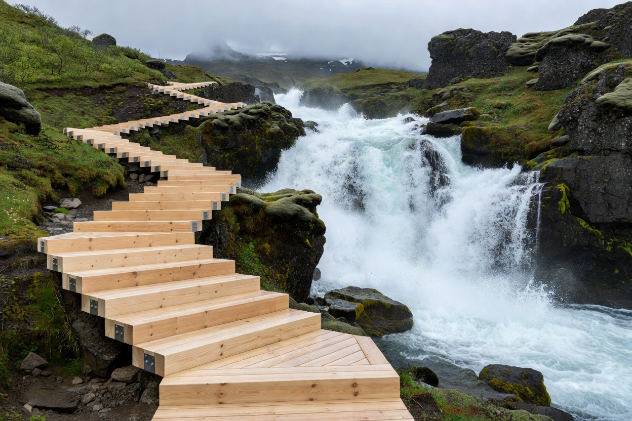
Major high-density locations (Gullfoss, Dettifoss west bank) utilize elevated galvanized steel mesh platforms and treated timber walkways.
Galvanized steel grating provides superior grip when wet, allowing water and snow to fall through without forming sheet ice. Timber walkways, conversely, present acute slip hazards when algae growth takes hold during prolonged mist conditions.
Crowd bottlenecks occur regularly on timber stairs. Never stop mid-staircase to photograph; proceed to wide cantilevered platforms designed for static viewing.
| Trail Profile | Avg Distance | Surface Matrix | Required Footwear |
|---|---|---|---|
| Base Walkway | 200–600m | Fine gravel, silt mud, spray pools | Waterproof hiking shoes, Vibram sole |
| Canyon Rim Climb | 1.5–5.0km | Loose tephra, basalt scree, wet clay | Rigid ankle-support boots, poles |
| Behind-Fall Loop | 300–800m | Wet bedrock, stone steps, slick mud | High-traction lugged boots; full rain gear |
| Highland Spur Path | 3.0–8.0km | Unmarked tundra, river bed boulders | Heavy mountain boots, gaiters |
GOOD FOR
- Selecting the right traction aids (microspikes in shoulder months vs lugged boots).
- Preventing trail degradation by identifying engineered paths.
- Evaluating whether physical capability matches canyon rim elevation profiles.
WHAT TO KNOW
- Under no circumstances should you cross temporary maintenance ropes or bypass wooden barricades.
- Cliff edges in volcanic areas frequently consist of unconsolidated tephra overhanging empty air.
- In high wind (exceeding 18 m/s), elevated rim platforms can experience destabilizing gusts.
Encountered damaged path infrastructure? Report trail hazards or washed-out steps to our field desk team.
REPORT TRAIL STATUS